
You see, I grew up near there. I have been to Waldo Canyon many times. It's a favorite place to run. We took the troop there and lost a kid there once. There's a huge quartz outcropping that overlooks Highway 24 that's a marvel. So, I also know very well that a fire there is bad news all around: it's a dry place to start with, it's hard to access, and it's geographically proximal to Colorado springs, Manitou Springs, Green Mountain Falls, Woodland Park, and a bunch of other communities in the region. It's a great place to light a fire if you want to wreak havoc.
Within a few days, things had gotten out of hand, and the fire was eating homes. Dad and I had a somber conversation. He pointed out that this was the Big One™ that they'd be worrying about for years. They had to figure out what they really, really wanted, put it in the car and leave everything else. They had to switch hotels because the first one got evacuated too. The fire was a complete and utter disaster.
They were lucky. Their house survived. Things are ok.
But there's a big chunk of mountain that's burned. It's like the Hayman Fire. A lot of favorite places are closed and will never be the same. Every west slope park between Manitou Springs and the airforce academy is closed and gone. The fire burned right out onto the plains and into the city.
View The Gazette's Evacuations Area and Fire Vicinity in a larger map
I was recently there, and I decided to take some photos of my own for posterity. Much like the Hayman fire, access to the burn area is very restricted, and will probably remain so for a while until underbrush has a chance to take over. This fall and winter, then the following spring will bring a huge amount of erosion that will wash out the roads with debris flows. Having people screwing around will only make that process worse. Sadly, that limits personal access to the burn area.
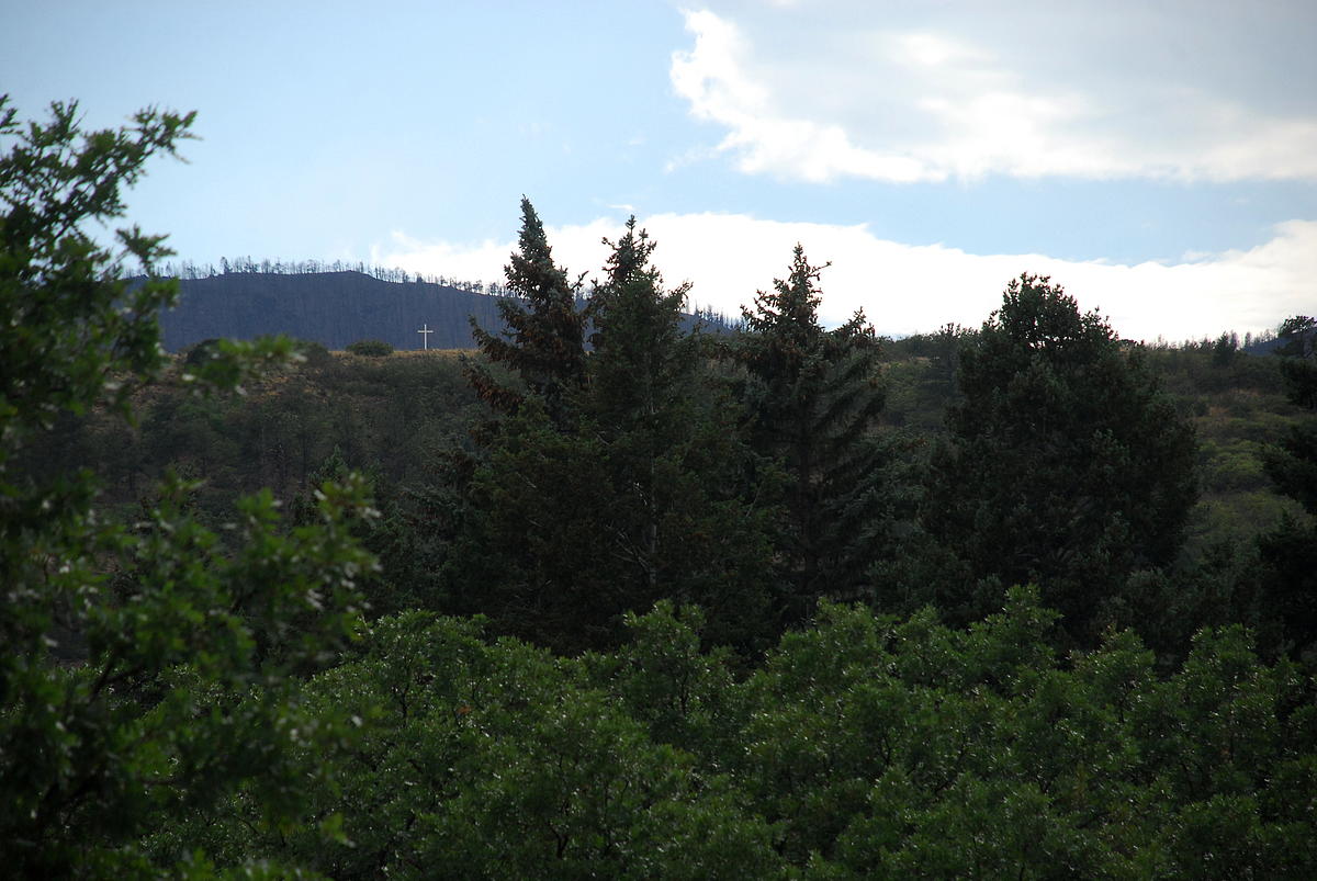
Rampart Range Road is closed just above Woodland Park, all the way to Garden of the Gods. The best place to see the burn is actually from Colorado Springs itself.


This house was a quarter mile from the burn line and still caught fire, I presume from falling embers.

This is the Waldo Canyon Trailhead, for which the fire is named. It's closed to the public now.

The fire line reaches to Highway 24 in places.


Heavy rains cause debris flows that can come out of the burn areas and flood the highway. They're not just water and mud, but large chunks of rock and wood that damage cars. My dad got on the wrong side of one and it put a hole in his oil pan, and filled the engine compartment with dirt and debris.


No comments:
Post a Comment
Leave a message after the tone...